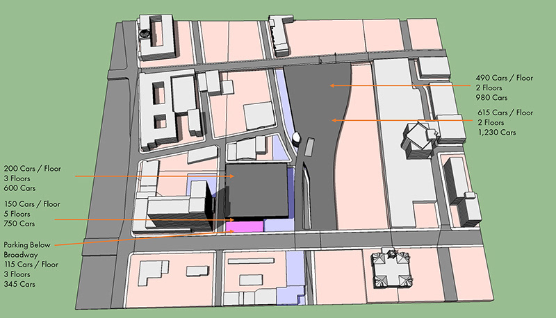
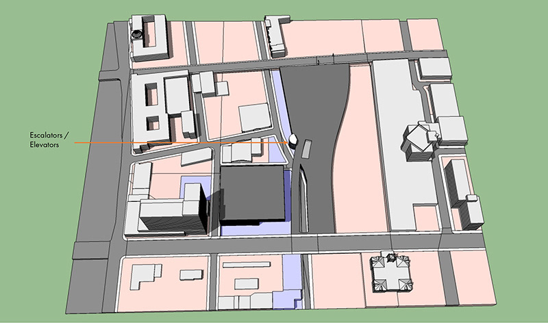
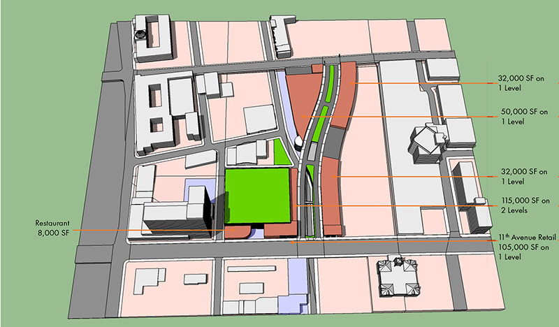
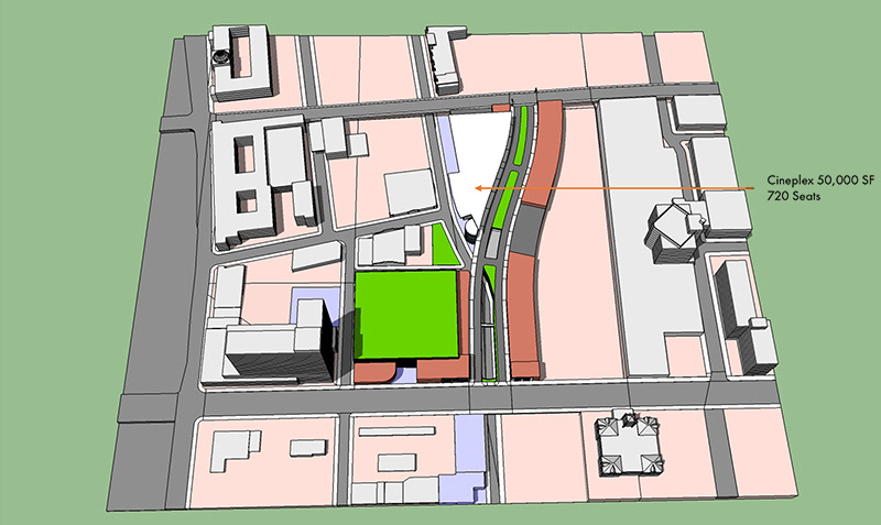
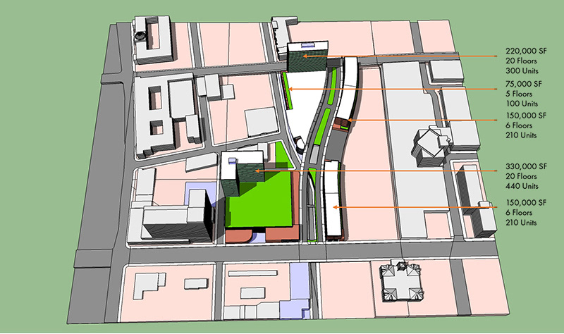
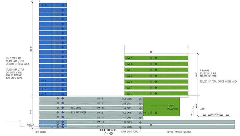
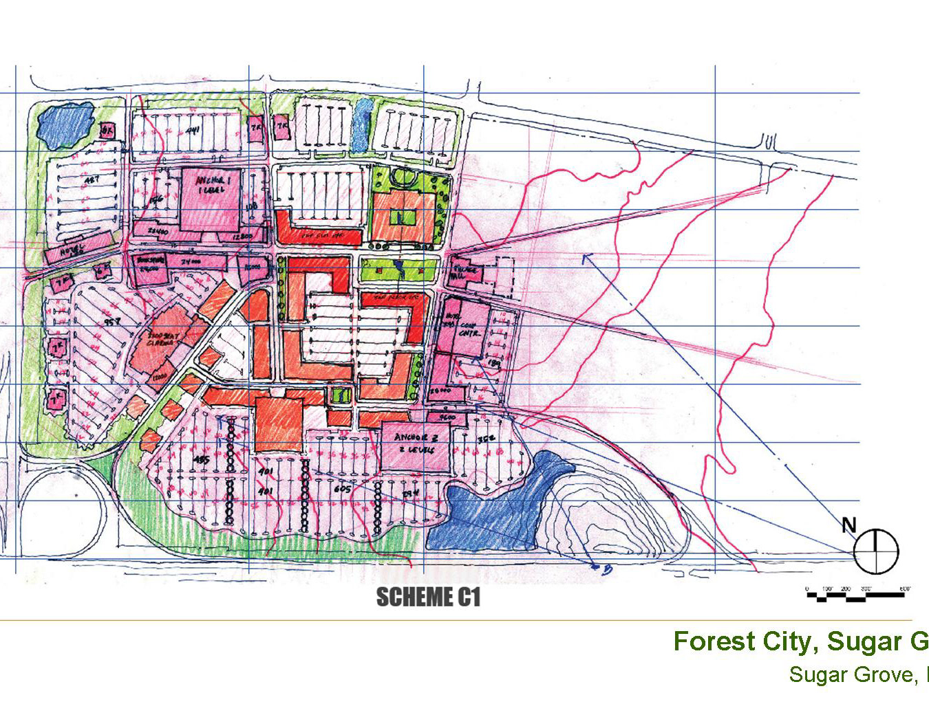
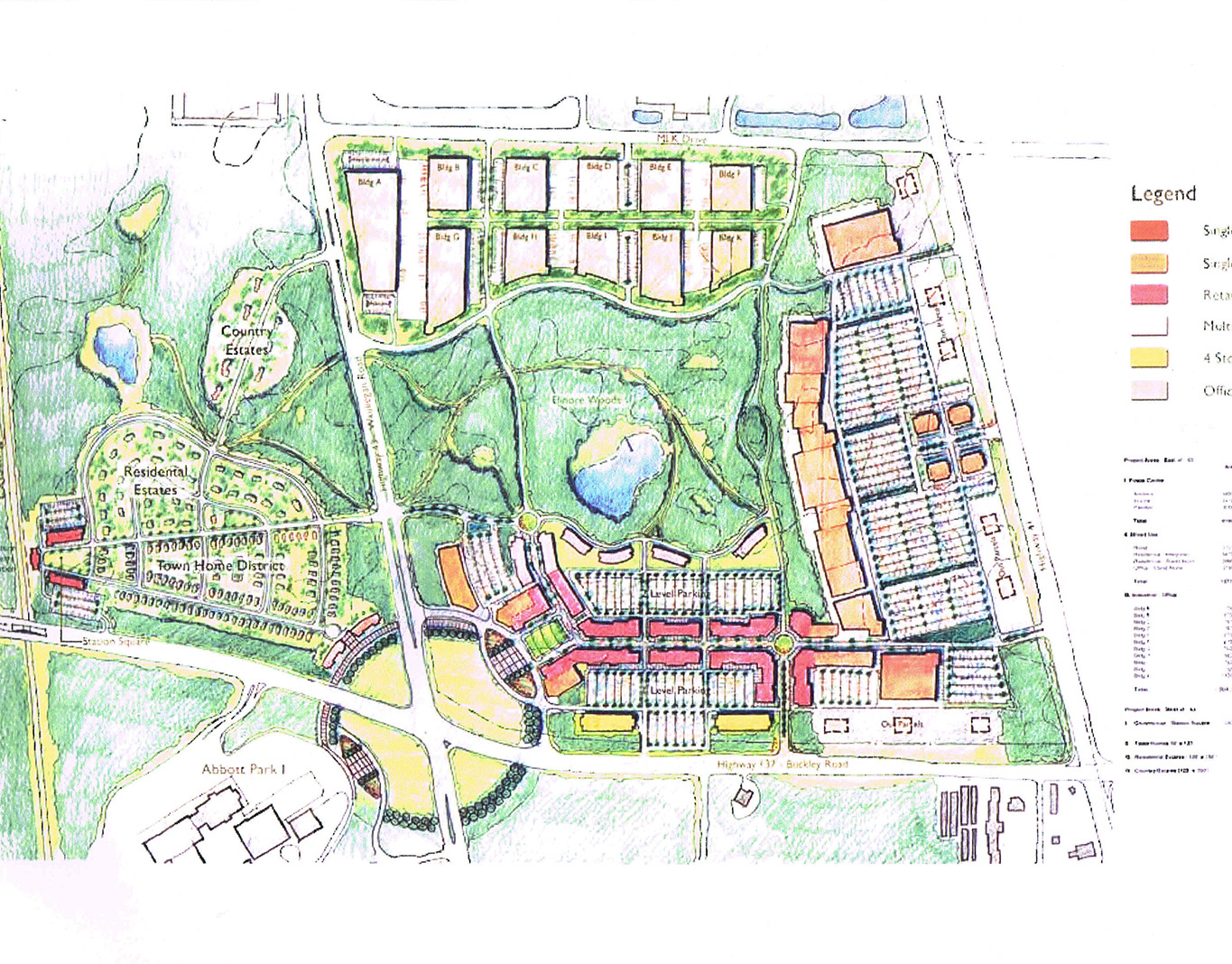
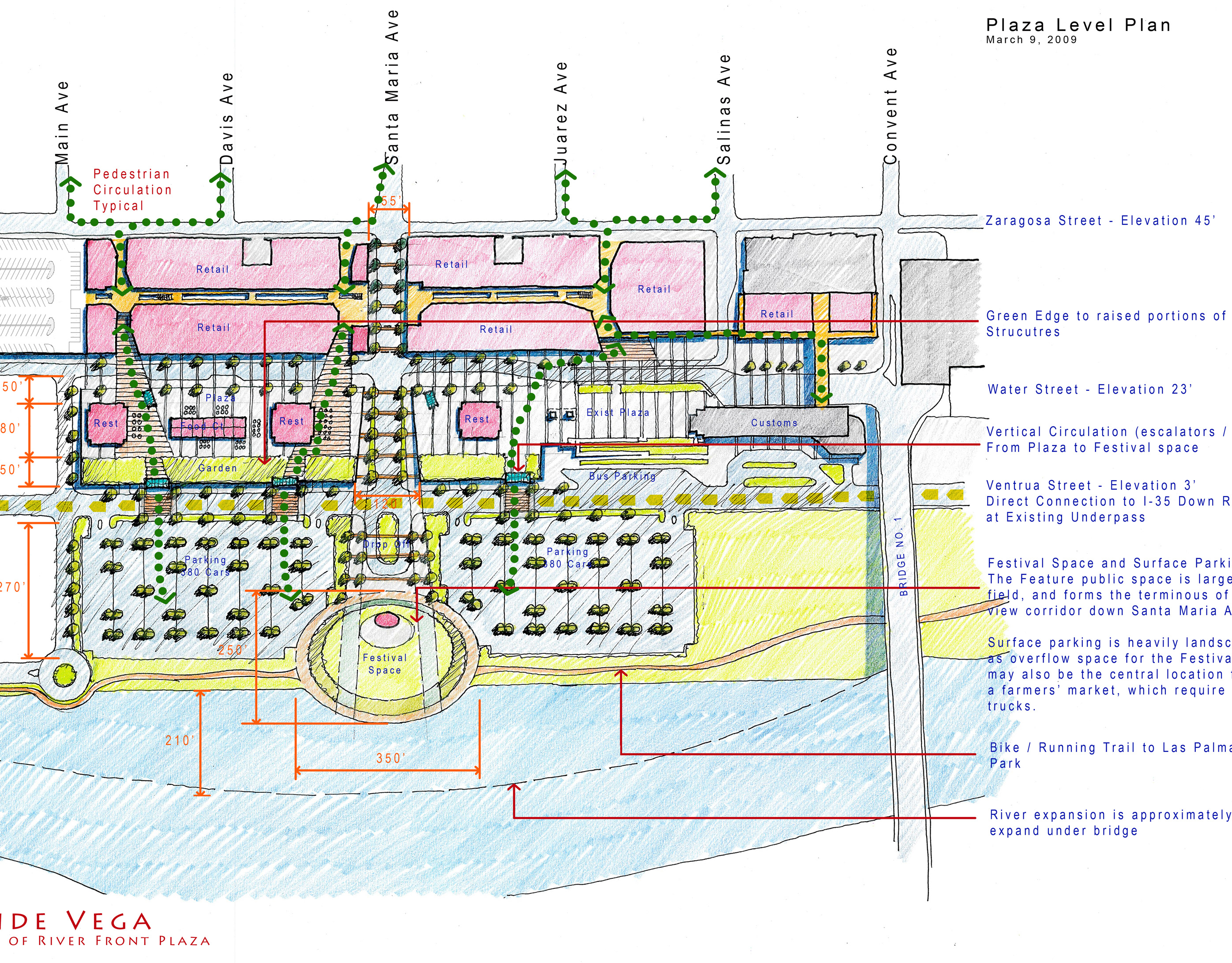
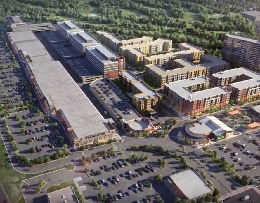
The challenge in planning the ten acre development for the North Gulch Gateway in Nashville lay in two distinct city grids, one twenty feet higher than the other. As a mostly abandoned rail yard, the lower grid inflects to accommodate particular conditions. The upper grid consists of the arterial connections to the higher elevation of downtown Nashville. The first phase of the planning effort examined site, looking at potential connections, edge conditions, existing and future paths; all relative to a potential program.
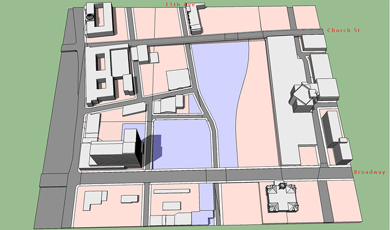

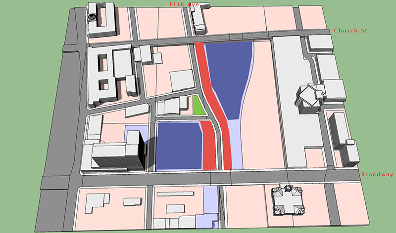
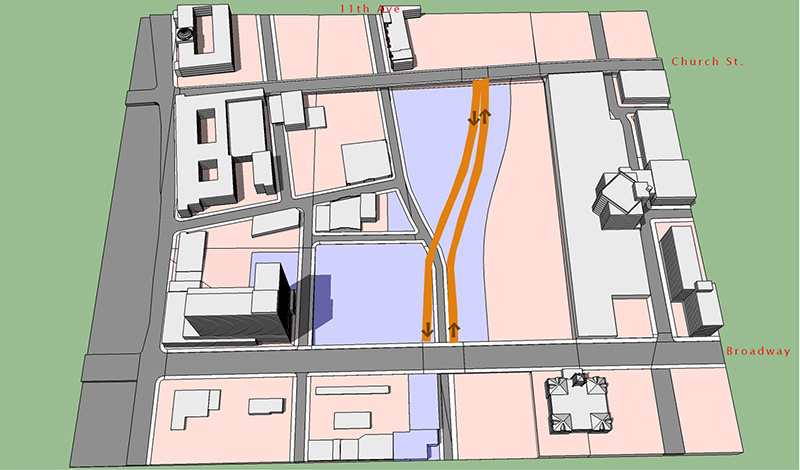
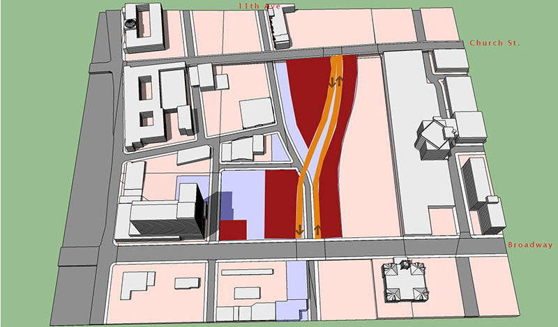
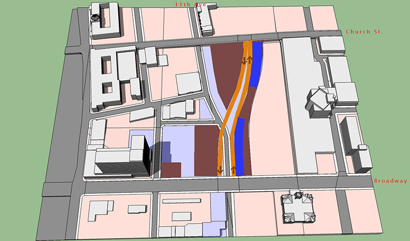
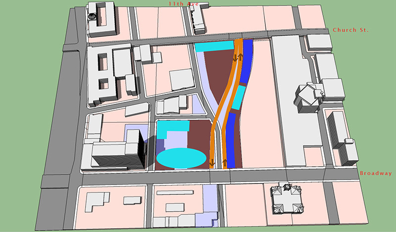
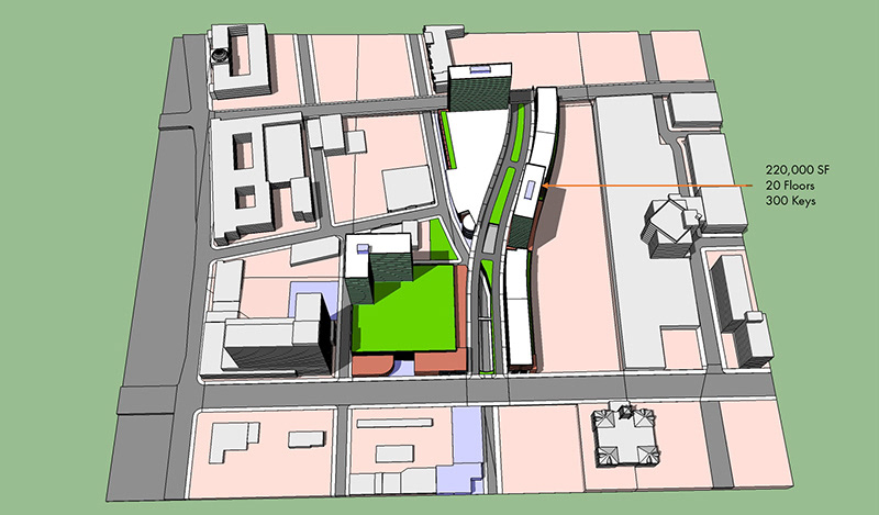
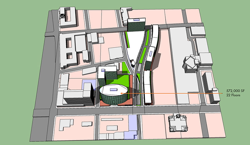
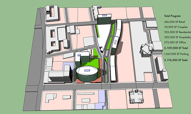
The next phase examined the specific program yield within an array of functions. The opportunity was to stitch together a disparate and disconnected part of the urban fabric and maximize its yield while enhancing the experience and encouraging nearby development.
